
 Photo: Mtt1734 · CC BY-SA 4.0
Berchtesgaden Alpine Loop
Cross the German border for Bad Reichenhall, Ramsau, Königssee and Berchtesgaden, then return through Hallein.
- Allow
- 3 days
- Route
- 91 km
- Drive time
- 1 hr 36 min
- Stops
- 6
Salzburg and Berchtesgadener Land share one mountain geography despite the border. This short loop joins salt towns, the Watzmann landscape and Königssee, where the best road-trip decision is to leave the car in the main lot and continue by electric boat.
Allow three days so a weather change does not erase the whole trip. Carry the documents required for a border crossing, confirm rental permission and use guest cards or local buses when they simplify busy mountain attractions.
The road, in one glance
Pinch or scroll with Ctrl / ⌘ to zoom
Drawing the route…
The route earns
its distance
Each pin is selected as a place to do something—not merely proof that you passed through.
 Photo: Jorge Franganillo · CC BY 2.0
Salzburg
Collect the car after the city and head west toward the border rather than keeping it through old-town days.
Salzburg is the fourth-largest city in Austria. In 2026 its population was 157,994. The city lies on the Salzach River, near the border with Germany and at the foot of the Alps mountains.
 Photo: Luitold · CC BY-SA 3.0
Bad Reichenhall
Salt heritage and spa architecture make a gentle first German stop beneath the mountains.
Bad Reichenhall is a spa town, and administrative center of the Berchtesgadener Land district in Upper Bavaria, Germany. It is located near Salzburg in a basin encircled by the Chiemgau Alps (including Mount Staufen (1,771 m) and Mount Zwiesel (1,781 m)). Together with other alpine towns, Bad Reichenhall engages in the Alpine Town of the Year Association for the implementation of the Alpine Convention to achieve sustainable development in the Alpine Arc.
 Photo: Jörg Braukmann · CC BY-SA 4.0
Ramsau bei Berchtesgaden
The parish church, Ramsauer Ache and Watzmann backdrop create a village landscape best explored on foot.
Ramsau is a German municipality in the Bavarian Alps with a population of around 1,800. It is a district located in the Berchtesgadener Land in Bavaria, close to the border with Austria, 35 km south of Salzburg and 150 km south-east of Munich. It is situated north of the Berchtesgaden National Park.
Photo: Mtt1734 · CC BY-SA 4.0Königssee
A long, steep-sided lake carries electric boats deep into Berchtesgaden National Park.
The Königssee is a natural lake in the southeast Berchtesgadener Land district of the German state of Bavaria, near the Austrian border. Most of the lake is within the Berchtesgaden National Park.
 Photo: Wikiuser100 · CC BY-SA 3.0
Berchtesgaden
A historic market center and salt-mine tradition anchor the German half of the route.
Berchtesgaden is a municipality in the district Berchtesgadener Land, Bavaria, in southeastern Germany, near the border with Austria, 30 km (19 mi) south of Salzburg and 180 km (110 mi) southeast of Munich. It lies in the Berchtesgaden Alps. South of the town, the Berchtesgaden National Park stretches along three parallel valleys.
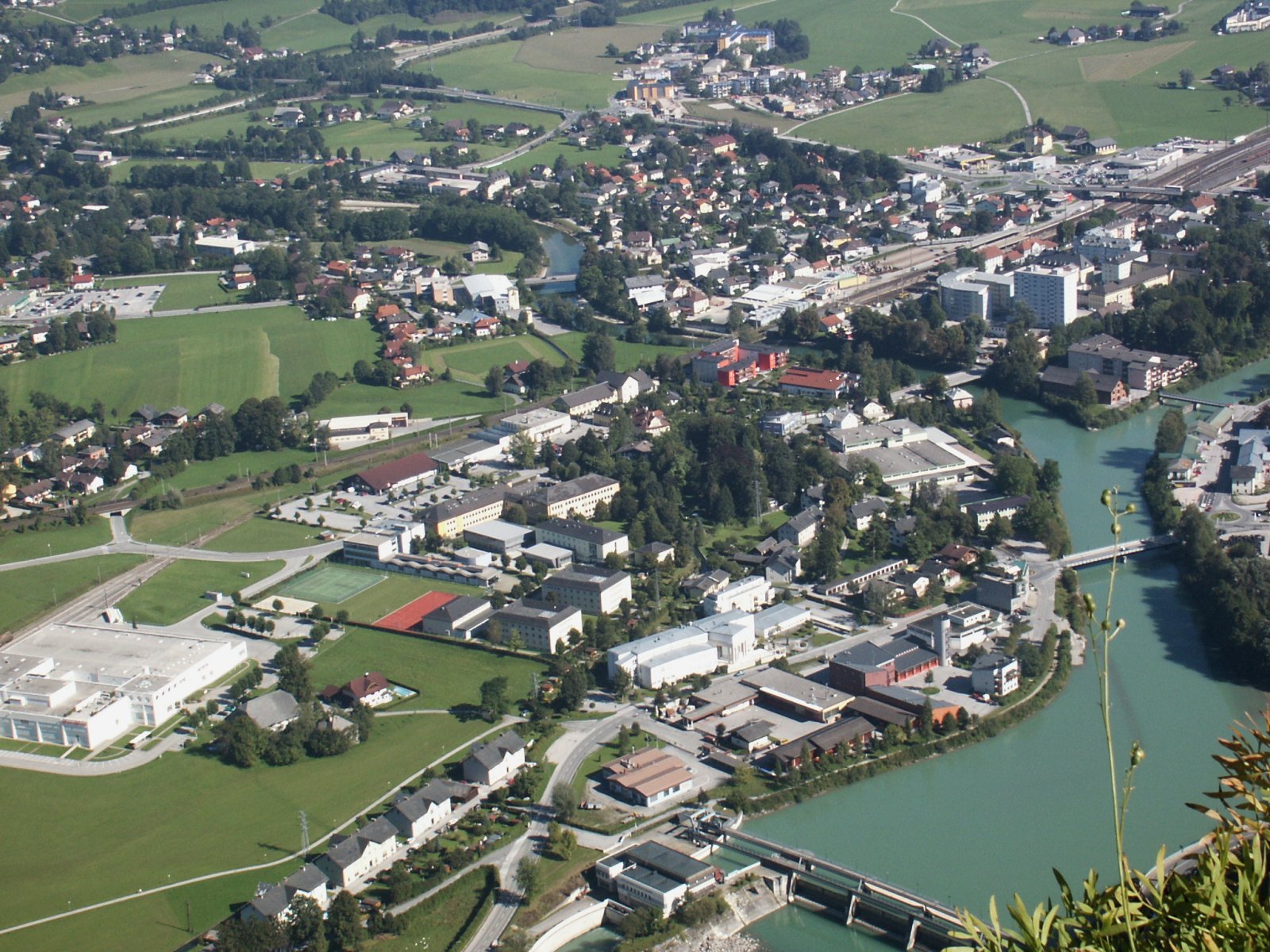 Photo: Wikimedia Commons contributor · Public domain
Hallein
A small old town and Dürrnberg salt history return the route to the Austrian side of the same cultural landscape.
Hallein is a historic town on the Salzach south of Salzburg and the administrative centre of its district. Its old lanes reflect wealth from the Dürrnberg salt mines above town, while the river and Celtic museum add context beyond the mine tour.
Drive the conditions,
not the itinerary.
This route crosses into Germany. Confirm rental and insurance terms, carry documents and check winter requirements on both sides.
Checked against
the people who run it
Distances and driving times are planning estimates. Conditions, closures, ferries, permits and park rules can change, so check the linked official guidance before setting out.